Primary Source Packet: Mapping Community Change

Use primary sources in your classroom to analyze how communities change with decreasing population, urban change, and suburban development.
Discover how communities change with decreasing population, urban change, and suburban development. Students closely examine historical maps, and then analyze history and geography through the lens of community growth and decline.
Cost: $20 ORDER
Contents
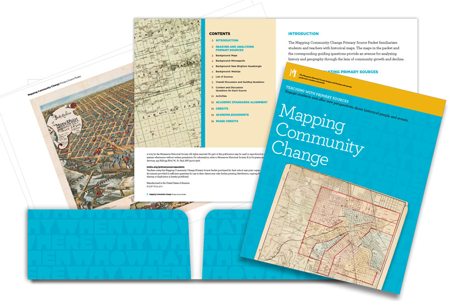
- 17 reproductions of primary sources, incorporate a variety of maps and supporting documents
- Discussion questions, student questions and activity suggestions
Sources included:
Minneapolis (1874–1921)
- Plan of the City of Minneapolis and vicinity, 1874.
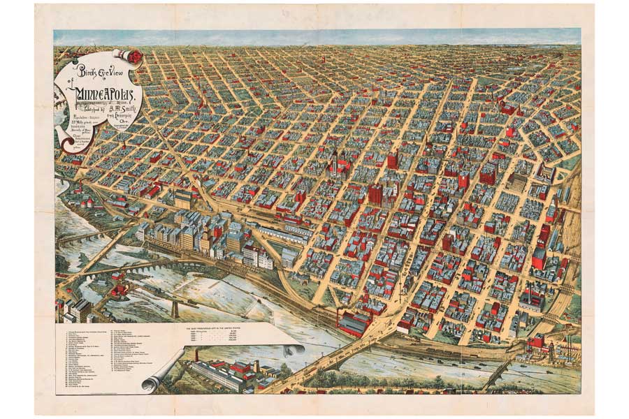
- Bird’s-eye view of Minneapolis, 1891.
- Map of Minneapolis from Hudson’s Dictionary, 1900.
- Ward map of Minneapolis, 1910.
- City of Minneapolis election map, 1921.
New Brighton Quadrangle (1874–1993)
- Map of Ramsey County, 1874.
- Plate 17 (southern Mound View), 1886.
- Plate 18 (northern Mound View), 1886.
- Index map of Environs of St. Paul, 1886.
- U.S. Geological Survey map of New Brighton quadrangle, 1952.
- U.S. Geological Survey map of New Brighton quadrangle, 1967.
- U.S. Geological Survey map of New Brighton quadrangle, 1993.
Wasioja (1874–1914)
- Dodge County, 1874.
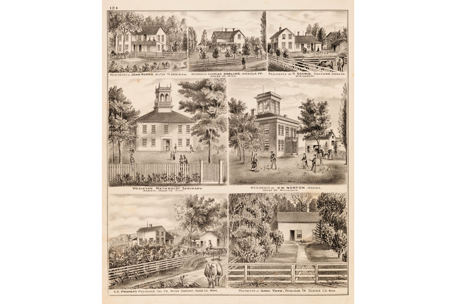
- General Views, Dodge County, 1874.
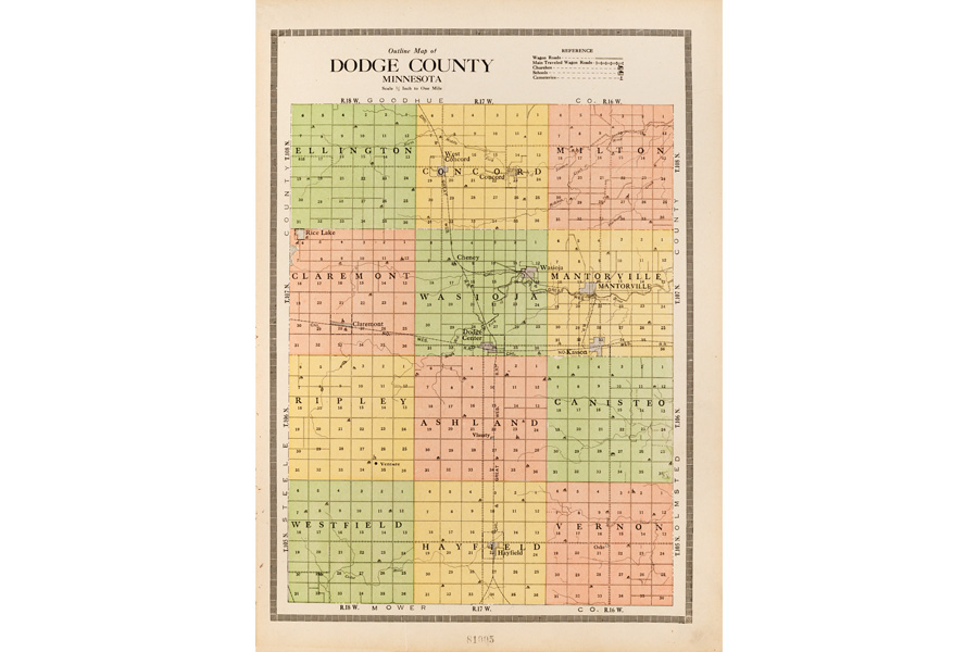
- Outline map of Dodge County, 1914.
- Map of Wasioja Township, 1914.
- Farmers’ directory of Wasioja Township, 1914.


Bird’s-eye view of Minneapolis, 1891.

U.S. Geological Survey map of New Brighton quadrangle, 1952.

Outline map of Dodge County, 1914.

General Views, Dodge County, 1874.
Academic standards alignment
The Mapping Community Change Primary Source Packet is designed to engage your students and enrich their ability to read and analyze maps. Incorporating these maps, or adapting the questions and activities for other maps, into your teaching will help meet your curricular objectives and academic standards, whether they are content or skills related.
We have aligned this packet with state and national standards and benchmarks for grades 6–12. The link below outlines the standards alignment for this packet.
Academic Standards Connections
Related resources
- USGS topographic map symbols (PDF)
- More topographic maps
- Andreas Atlas 1874 (Full Digitized Atlas)